We’ve written before about how the latest technology can give us access to the remotest past. Specifically, we’ve covered the use of lasers to understand and even model our buried history.

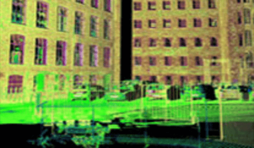
Now, with the Scottish Ten project, Historic Scotland, in conjunction with CyArk, is laser-mapping five Scottish sites and five international ones, all designated World Heritage sites and making them available online. The laser mapping produces 3-D renderings that are accurate down to within three millimeters.
All the vast data and its renderings will be hosted by, and available on, CyArk, a non-profit organization devoted to digital records of our global heritage. CyArk’s goal is to capture and host 500 sites of importance to the human story.
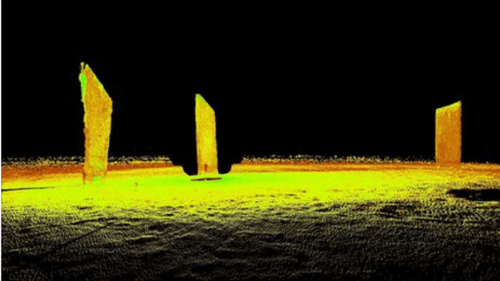
Having finished mapping the 18th century New Lanark mills in Scotland, Rossyln Chapel and Mt. Rushmore in the U.S., the team has begun scanning the neolithic sites on Orkney off northernmost Scotland. The Orkney Islands are a neolithic site of extraordinary richness.

The Rushmore job gives one an idea of the scope. They used six Leica laser scanners and 11 digital SLR cameras. They downloaded dozens of gigabytes of data daily. To save the data from the job, the team’s computer system had over ten terabytes of hard-drive space. That was for one job. They’re doing ten. And Orkney is equally vast, comprising the tomb of Maeshowe, the settlement of Skara Brae and a host of stones, including Stenness, Barnhouse, the Watch Stone and the Ring of Brodgar.
Once the Orkney’s are done, the remaining Scottish sites will be the Antonine Wall, Edinburgh’s old and new towns and St Kilda. The remaining international sites include locations in Japan, India and China. The project, which started last year, will not finish up until 2013.


