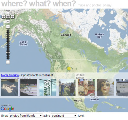
Developer Paul Mison has created an interesting Flickr mashup that shows you a map of the locations with the most photos based on a criterion of your choice. By default, that’s a tag, but the mashup can also display your photos, the photos of your friends and family, or those belonging to your contacts.

The mashup, called What? Where? When?, is an update to an earlier demo app Mison made based on a prior version of the Flickr API – an API which has been expanded considerably since his original creation. With the newer API, Mison’s app is able to pull all sorts of data from Flickr and then plot the results on a Google Map.
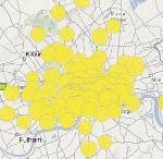
The photos are plotted out using partially transparent yellow circles instead of the standard Google Map pushpin. Click on any circle and a transparent overlay will appear on the map giving you a filmstrip view of the latest photos.

What a fun way to see the what,where, and when surrounding photos uploaded from last night’s New Year’s Eve celebrations!


