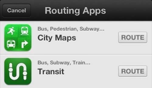
If you installed iOS 6 on your iPhone this week, you might have noticed that the new Maps app from Apple are somewhat lacking. Not only are the maps spotty (or flat-out wrong) in places, the app is missing public transit directions, which iOS users had gotten used to in the old Google-powered maps. Fortunately, the new app is built to hook into third-party apps for transit directions, and I think I’ve found a good one.

City Maps by Lumatic is a free transit app that covers 27 metropolitan areas in the U.S. so far. It provides step-by-step walking and public transit directions with street-level photos, nearby businesses and landmarks to get you oriented. The transit directions don’t just show schedules; they plan your whole route for you. The app also brings up Foursquare, Yelp and Facebook info for business, so you can quickly judge the quality of a place.
I’ve only been using this app for 24 hours, but it’s given me helpful and accurate directions each time. It’s a new interface to get used to, but since it’s hooked into the built-in maps app, you can still start searching for directions in the usual place.

Until Apple improves its map data, which it really has to do if it wants to keep customers happy, this outside app will keep you covered.


