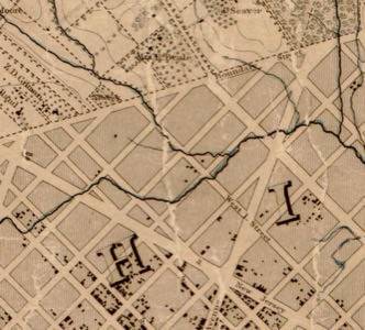
The Library of Congress and Columbia University are taking steps to assure we keep our maps intact through a partnership to provide best practices, methods and services to assist organizations in preserving geospatial data.

Through its partnership with Columbia, the Library of Congress is creating a digital clearinghouse of maps and satellite images that are important for preserving the unique insights that geospatial data provides.
The federal government states that geospatial preservation is critical for responding to disasters, urban planning and population trends. Geospatial can be any information associated with a location. That can be a very rich data store. We’llbe interested to understand the constraints they set when defining what geospatial data to archive. Further is the question about access.
The Library of Congress is the United States oldest federal cultural institution. It’s the research arm for the U.S. Congress. A core part of its missions to preserve information for us and future generations. It’s a universal collection of data that is increasingly digital in nature. The Library of Congress effort to preserve geospatial data is a boost to its importance as meaningful information. Preserving the data fits with the mission of the organization.
Earlier this year, Twitter turned over its archives to the Library of Congress, marking an interesting point in our society’s brief, yet intense history with the Web.
Preserving geospatial data is a more complex task. The data can have a number of formats. Some forms of geospatial data are becoming outdated. Preserving that information will be critical as the pace of technology rapidly moves on.
The idea of people creating their own geospatial communities is emerging as a trend. Washington D.C. CTO Bryan Sivak is making it an initiative to make its citizens map makers.
Preserving geospatial data will become more important as municipalities like Washington D.C. encourage its own citizens to add data to the maps of the cities and towns where they live and work. And that in turn will make the preservation of geospatial data all the more important.


