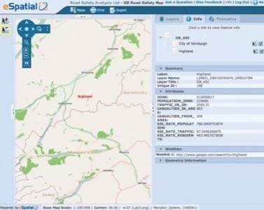
The UK government has published 5 years of nation-wide road safety and casualty data freely online on a map that anyone can view in a web browser. It’s a remarkable instance of data-driven public accountability; presumably citizens will use this newly accessible data to apply pressure on government agencies regarding safety improvements. Citizens and researchers will also be able to cross-reference the location of troubled roadways with race and class demographic analysis to illuminate any inequitable allocation of infrastructure resources. It’s a bold and enabling action to take online.

The statistics were gathered by independent researchers and put online using eSpatial OnDemand GIS and Open Street Map. Open Street Map is like the Wikipedia of world and local maps, but it’s also a popular data platform that many other applications make use of. Map nerds should watch the OpenStreetMap annual conference, State of the Map, for more exciting map and geodata news. The conference opened this morning in Denver, Colorado.
Geodata industry writer Matt Ball published an eloquent, in-depth explanation this morning of how the geo industry is moving away from domination by legacy commercial software providers and toward a future where extensive value and opportunities are created by open source and open data communities working together on the web.


