For many of us, Finding Nemo may mark the last occasion we spent any significant about of time thinking about the ocean.
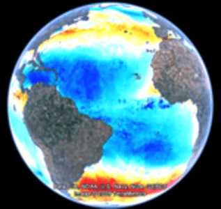
For World Oceans Day, Google has come to the rescue with a cool collection of visualization apps that use Google Earth to encourage analysis of the big blue. According to last night’s post on the Google LatLong Blog, “To help get our heads around the watery part of our planet, we’ve collected a few visualizations of both issues facing the ocean and cutting edge science. Have a look at the problem of plastics in our oceans, find out about where currents might take your trash, the health of the world’s fisheries, and what the latest satellite data says about the state of the ocean.”
“The truth is, even with the help of today’s satellites, the most sophisticated global maps of the ocean floor are really just guesswork,” writes Steve Miller, Product Manager for Ocean in Google Earth. “Satellites can hardly see past the surface of the water, let alone the ocean floor, and so the ocean remains relatively opaque to our eyes, our technology, and for the most part, our understanding.”
According to Google, this makes visualization apps even more important to our understanding and protection of the world’s oceans. The related Google Apps page also shows a news ticker with World Oceans Day items and a custom search box in the upper right to find content from partner sites.
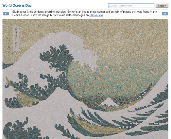
The apps show sea surface height, sea surface wind, areas of overfishing, oceanic currents, and other non-Google Earth projects that graphically illustrate marine pollution.
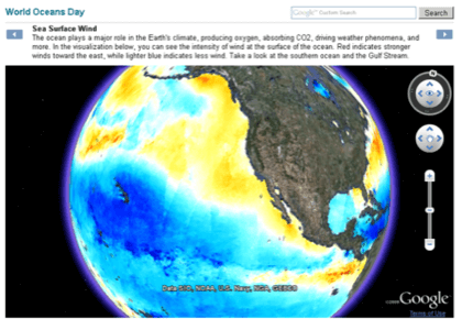
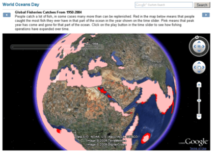
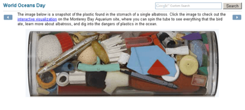
The Google team has also curated a collection of relevant videos on YouTube. While some of the whales/sharks/fish vids make for pretty interesting browsing for fans of shows such as Planet Earth, others serve as graphic and sad reminders of humans’ impact on the oceans.


