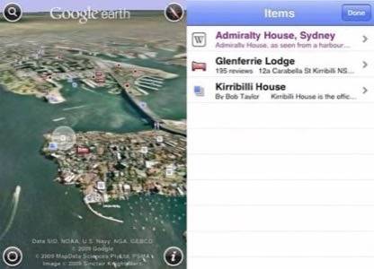
If you’re an adventure seeker with a penchant for storytelling you’ll be happy to hear that Google is giving you the visuals you need to illustrate your tales of bravery. In a blog post written by Google Earth Product Manager Peter Birch, the company has updated its iPhone application. While we’ve always been big fans of the Google Earth desktop version, the company released its iPhone app in 2008 with new attention to the mobile accelerometer and touch features of the iPhone. Users pinched, tapped and tilted their way to stunning satellite views of mountain ranges and far away terrain. The application update builds on these features but adds a touch of the personal.

Google Earth for iPhone now offers users a chance to view their customized maps in the iPhone app. Rather than just offering standard maps, users save their pre-existing maps or favorites in the “My Maps” folder and the files are automatically synced to the device.

One great feature of this release is the fact that users can track their travels via a GPS device and save the results as a KML file to be viewed in the application at a later time. The example given is a look at the route taken to climb a mountain; however, the same tool can be used to track marathons, sailing regatas, road trips and basic travel. For information on how to convert GPS data into Google Earth, users can visit Google’s KML Support Section. If you haven’t already downloaded the application, you can do so here.


