Google just released a major new update to Google Earth that now includes the rumored maps of the ocean floor. Google unveiled this update at an event at the California Academy of Sciences. After installing the latest version of Google Earth, you will be able to explore the ocean floor in the same way you browse the Earth’s surface. Besides mapping the oceans, however, Google has also added three more interesting new features to Google Earth: easier access to historical imagery, the ability to record and narrate fly-through tours with the new ‘touring’ feature, and a 3D map of Mars.

Ocean Floor
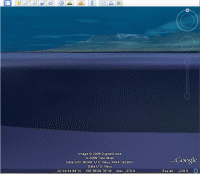
Thanks to the new layers for the ocean floor, you can now dive below the surface and explore the seafloor in 3D. Google has also added a large number of additional data points with videos and still images to these new layers.

Historical Maps
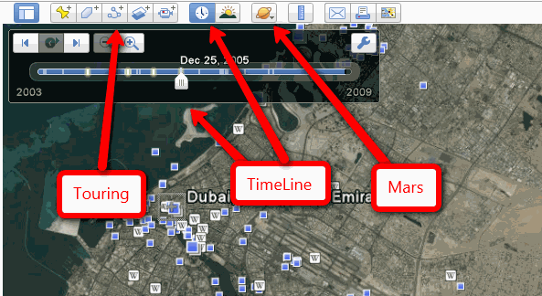
The new ‘historical maps’ feature allows you to see how the geography of a certain area has changed over time. Just click on the new clock icon in the toolbar and a new slider appears that lets you move back and forth in time. Google is able to draw upon a rich database of historical images, though how far you can go back in time depends on the specific region you are looking at. At least of the U.S. and Europe, we were often able to go back twenty or more years, but for other areas, the data often didn’t go back much further than five or six years.

Touring
Another new feature in Google Earth is the ability to record your own tours while browsing the maps. After clicking the new record button, all your movements in Google Earth will be recorded and you can then play them back later or share them with others.

Mars
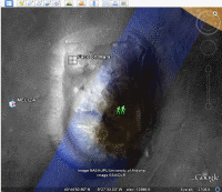
Also new is a 3D map of Mars, which includes high-resolution images from NASA, 3D terrain data, and annotations for landing sites and other interesting features. Google already offered a version of Google Maps for Mars and the Google Earth user community has been offering a Mars layer for Google Earth since 2006.


