If you thought Google’s Street View was ambitious, or even Google Earth, then the companies latest efforts to “fill in the ‘blue’ part of the planet” on Google Earth puts the rest to shame. That “blue part”, after all, comprises more than 70% of the planet’s surface.

Google started mapping the ocean last year and today is announcing that the ocean layer “will become part of the default set of annotations seen by all Earth users”.

Over the past year, the company has worked with more than 100 partners adding hundreds of placemarks to more than 20 ocean layers. Google has worked with National Geographic, the National Oceanographic and Atmospheric Administration and the International Union for Conservation of Nature, as well as the Mission Blue Foundation.
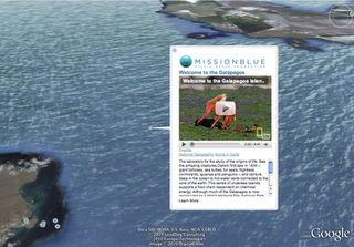
The Mission Blue Foundation is working to create a series of protected marine areas called Hope Spots, all of which will be included in today’s release.
Google is also offering a “narrated tour” of eight of the proposed locations for “Hope Spots”.
While we support the efforts of Google Earth to increase awareness, we have to chuckle, ever so slightly, at one phrase in today’s announcement:
One of the greatest things about Earth is that it allows everyone to see and experience the fullness of their planet, from revisiting places they know well to venturing out to formerly unknown mountain peaks, desert vistas, and increasingly, the blue heart of life on Earth.
We know, for some of you out there, for whatever valid reason, you might not be able to get out there and see the world, but for the rest of you, get off your duff and go climb a mountain in person. Go get you some woods, don’t let Google do it for you “via satellite”.


