An archaeologist told me once that his field was slow to accept new technology. But all it takes are a few and soon the dam has burst. The dam’s yet to burst but there are definitely trickles.
The newest discovery, after a new hominid via Google Earth and the moment an empire formed courtesy rugged handhelds and GPS, is the complete mapping of a large Mayan city from ruins using aerial lasers. In four days.
Instead of taking years to map the complex Mayan city of Caracol in Belize, Professors Arlen and Diane Chase took only four days last year to map the area using lidar, light detection and ranging. In those four days of over-flights, the archaeologists told the New York Times, they put together more information than had been gathered in the previous 25 years. When they were done they had mapped 80 square miles of city and environs.
Possibly the most complex (and, technically-speaking, coolest) use of mapping technology in an archaeological context is Professor Kent Weeks’s Theban Mapping Project. It is also a handy microcosm of technology use in the field. Starting in 1978 with tape measures and theodolites, then graduating to “total station” surveying equipment and finally using 360-degree automated laser mapping, Weeks and his crew have surveyed 62 tombs in Egypt’s Valley of the Kings. These tombs range in size from a couple of corridors and chambers to, in the case of their biggest discovery, the tomb called KV5, 121. So far.
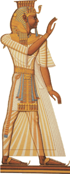
The extensive computer models of the Valley and of the Theban Necropolis are available as an online atlas for anyone to use.
The most important thing is to learn who we are. If by denying too-soon adoptions of technology and faddish methods we do that, great. But if by experimenting with new technologies in a responsible fashion we advance our knowledge of ourselves, that is equally desirable.


