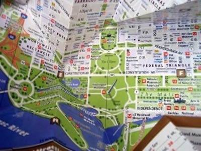
Washington, D.C. CTO Bryan Sivak is creating the infrastructure for a city that makes everyone a map maker in the cloud. His plan? Give citizens easy tools to create their own mapping applications that can be augmented with additional data.

Sivak spoke at the Gov 2.0 conference this past week where he outlined projects now underway in the city.
According to Information Week, these include his plans to create a private cloud that acts as a shopping experience for the IT manager. After adding a server to an online shopping cart, the order is completed and a server automatically spools up into the private cloud.
That’s not the map part but it shows the level of sophistication and the modern focus the city is adopting in order to develop an infrastructure that leverages the cloud for city operations and the community.
As for his geospatial goals, Sivak’s plan is to crowdsource the process of creating geodata that is layered on to map locations.
The city is now developing a series of templates and best practices to spark the development of mapping applications. For example, this might include support to create apps that provide pointers to city services or polling place locations.
Information Week:
“The city is already a heavy supplier of mapping applications, having 26 apps that mash maps up with data on crimes, evacuation routes, school data, emergency facilities, addresses of notaries public, leaf collection, and much more.”
Sivak also wants to provide ways for citizens to update city maps or augment maps with additional information such as the location of park benches and traffic lights. The idea is to take crowdsourcing to a higher level of detail by offering the capability to use this geospatial data to mark not just locations but documents and data relevant to the place.
This is ambitious but the challenge, as always, is to provide the tools that will make it easy for people to add information. That means simple ways to create their own online maps or those provided by the city. The reality of an augmented geospatial municipality will emerge if there truly is interaction with the community.
Our poor economy creates constraints that force local, state and federal governments to look at new ways cloud-based services may be provided. To save money, municipalities are adopting online email services such as GMail.
But the forward looking leaders are looking beyond email. They are providing tools so people may create information networks that span the geographies and the cultures of their rich communities.


